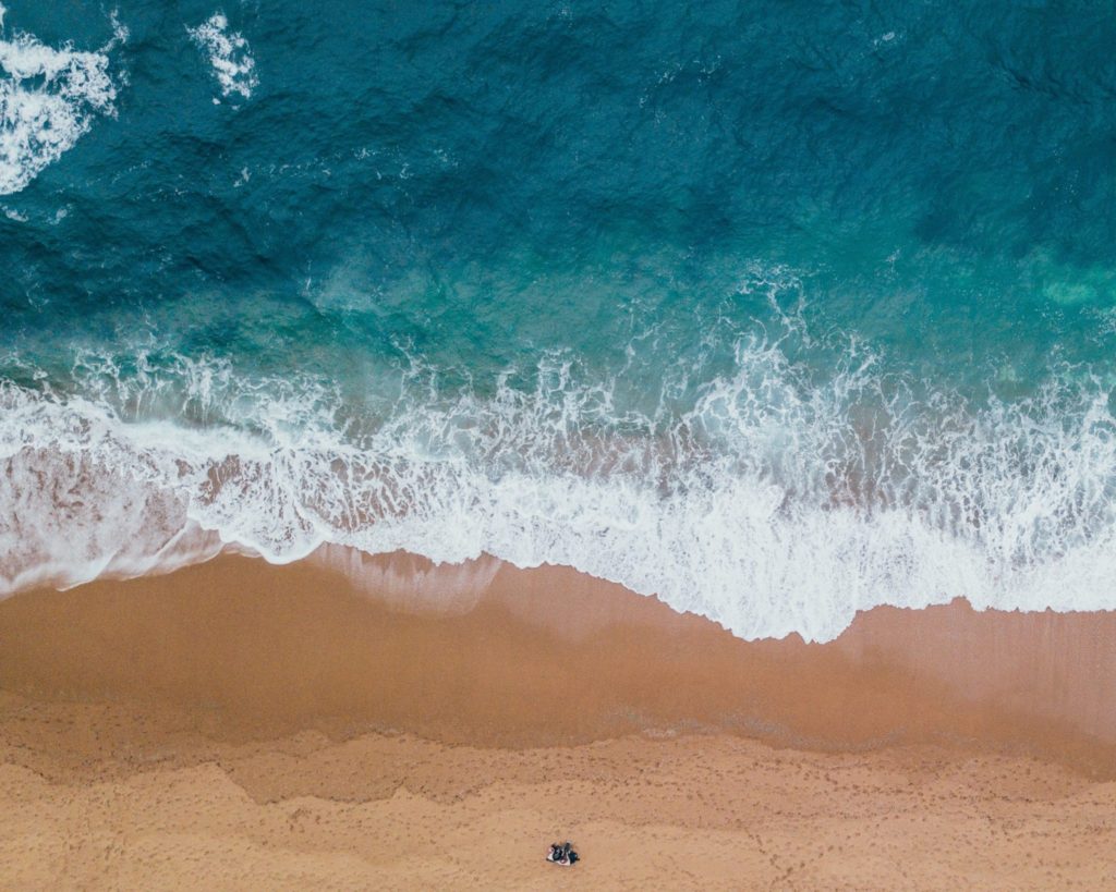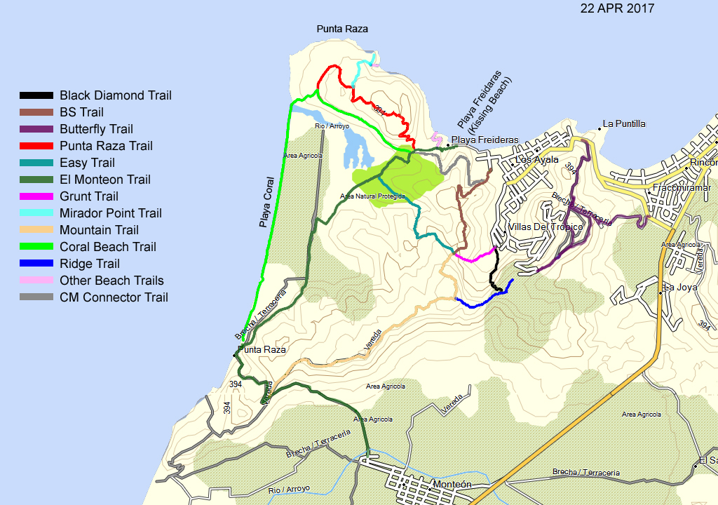
ONe of the best things to do in Los Ayala is to go hiking! Below is the map of all the hiking routes in Los Ayala, Nayarit. Make sure to wear sturdy footwear, pack ample water, apply sunscreen, take bug repellent, bring a camera, and hike in a group. Leave all gates as you found them (not leaving it open for other groups). Times and distances described below are approximate.
El Monteon Trail
Length 4.3 mi (6.9km) Trail Elevation Gain 520 feet ( 158.5m) Time 2 to 2 1/2 hours Dark Green
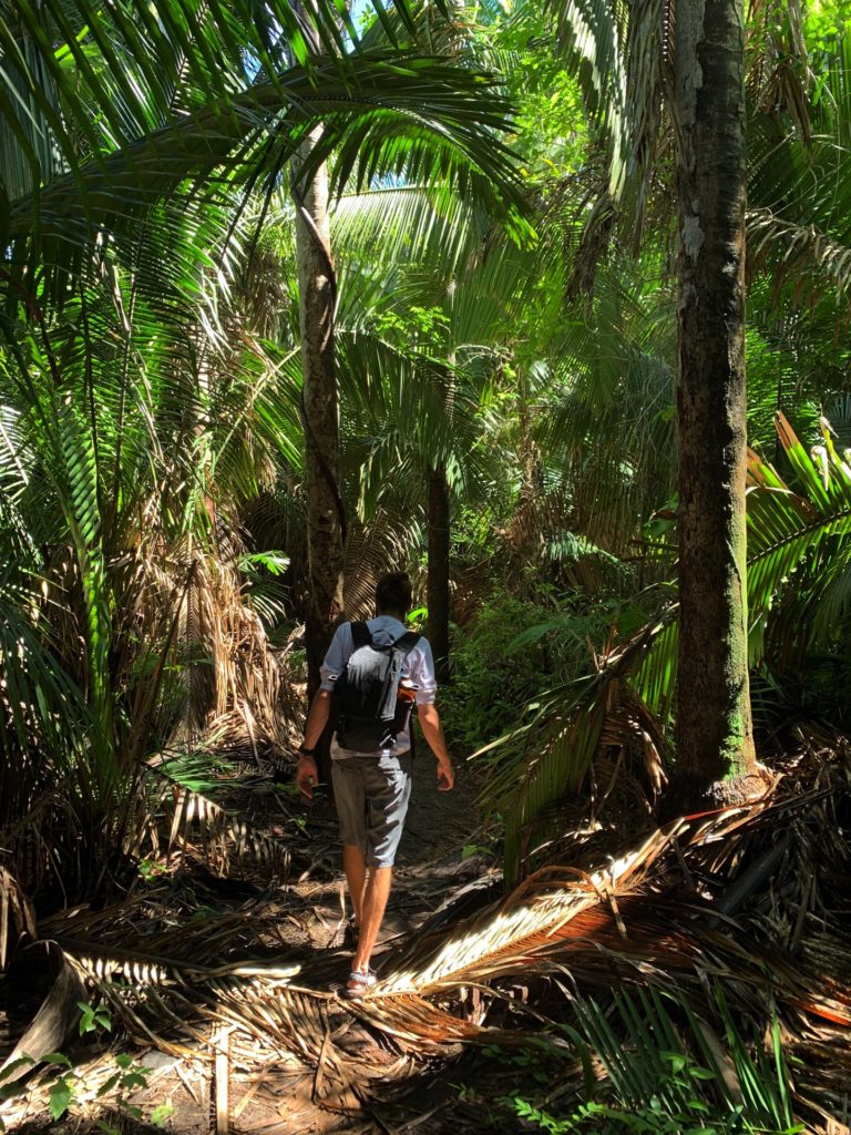
The El Monteon Trail is the easiest and most often hiked trail. The trail exposes hikers to the jungle, farm crops, and the Punta Raza Development. It includes a gravel road climb to a viewpoint before descending into El Monteon.
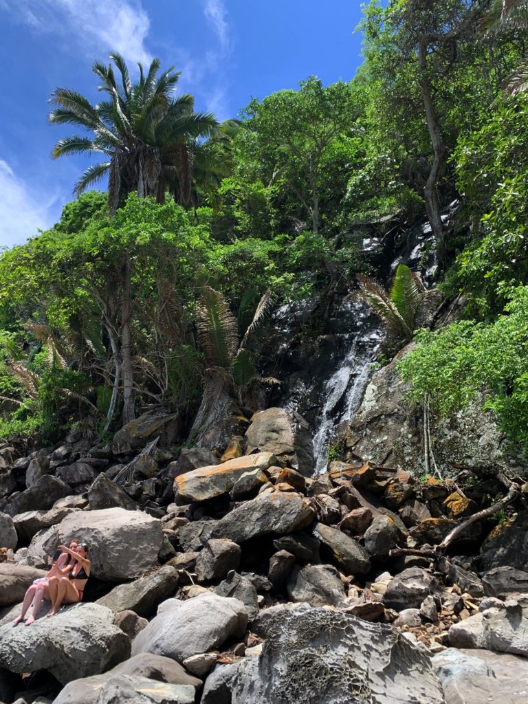
Punta Raza Trail
Length 1.5 mi (2.4 km) Trail Elevation Gain 370 feet (112.8m) Time: 1 to 1 ½ hours Red
An enjoyable lush jungle hike with moderate elevation provides access to remote playas and a rocky bluff (El Mirador) overlooking the Pacific Ocean. Great spot for picture taking. Incline at the beginning of the trail.
Coral Point Trail
Length 1.1 mi (1.8 km) Trail Elevation Gain 258 feet (78.6) Time: 45” to 1 hour Lime Green
The Coral Beach Trail is part of an old overgrown road that provides an alternate route to Playa Coral. The trail offers views of the estuary, farmland, and the Punta Raza Development. Can extend the hike onto El Monteon.
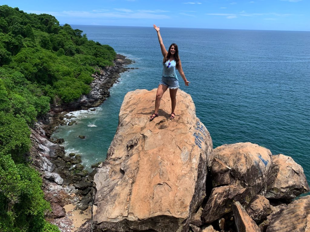
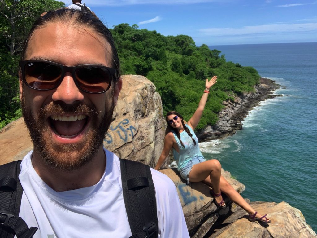
Mirador Point Trail
Length 0.4 mi (0.6 km) Trail Elevation Gain 105 feet (32m) Time: 20 to 30 minutes Teal
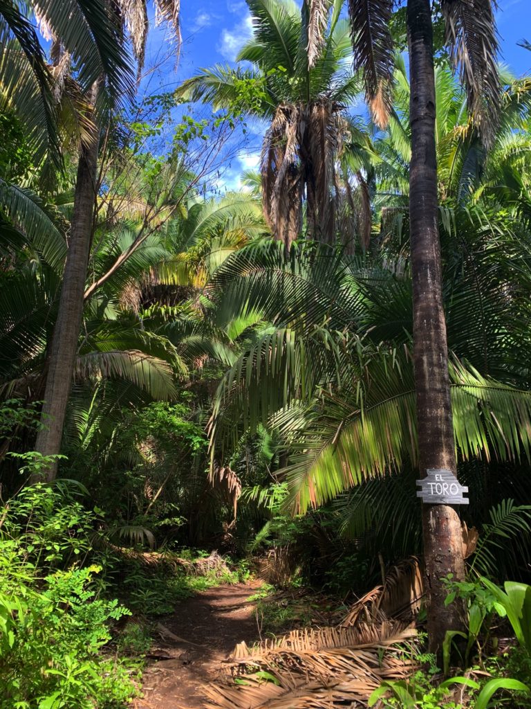
A brief airy walk to a rock cliff overlooking the ocean. The spectacular view is well worth the short hike. The optional trail down to Playa Toro is steep and should be hiked with caution.
Grunt Trail
Length 0.4 mi (0.6 km) Trail Elevation Gain 306 feet (93 m) Time 20 to 30 minutes Pink
The name states it all! The short steep trail leads to a flat junction where three trailheads are located. A brief rest stop might be in order.
Easy Trail
Length 1.0 mi (1.6 km) Trail Elevation Gain 435 feet (133 m) Time: 40” to 1 hour Soft Blue
It isn’t as easy as the name implies but an interesting trail passing through three distinct vegetation areas. The first section is an old orchard, followed by a thick tropical jungle before descending into the meadow section.
BS Trail
Length 1.0 mi (1.6 km) Trail Elevation Gain 508 feet (154.8m) Time: 45” to 1 hour Brown
The trail’s name doesn’t imply the obvious. This moderate trail is an enjoyable adventure with a few short, steeper areas. Once on the road, walk uphill to visit a palapa, then follow the road down to a gate, referred to as Casita 8.
Mountain Trail
Length 2.3 mi (3.7 km) Trail Elevation Gain 759 feet (231.3m) Time: 1 hour Coral
The Mountain Trail provides an alternate route to El Monteon. The initial trail’s segment climbs before leveling and finally enters a roadway descending into El Monteon. Great hike through the jungle featuring a variety of different trees.
Black Diamond Trail
Length 0.5 mi (0.8 km) Trail Elevation gain 560 feet (170.7m) Time: 30 to 45 minutes Black
The trail is picturesque. The trail’s beginning is a shady picturesque jungle featuring large fig trees. While the trail is not for the faint of heart there are numerous cutout steps and hand holds to assist with the short steep climb. Try the trail as it’s quite a different hiking experience as it climbs up to meet the ridge.
Butterfly Trails (Horse Trail)
Length 2.7 mi (4.3 km) Elevation Gain 633 feet (193m) Time: 1 to 1 1/2 hours Purple
Delightful fun set of trails through the jungle and open grassy areas. The lower trail which overlooks Highway 200 offers fantastic views of Rincon de Guayabitos. An easy short hike and if the timing is right, many butterflies can be seen.