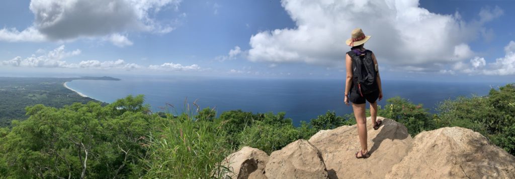
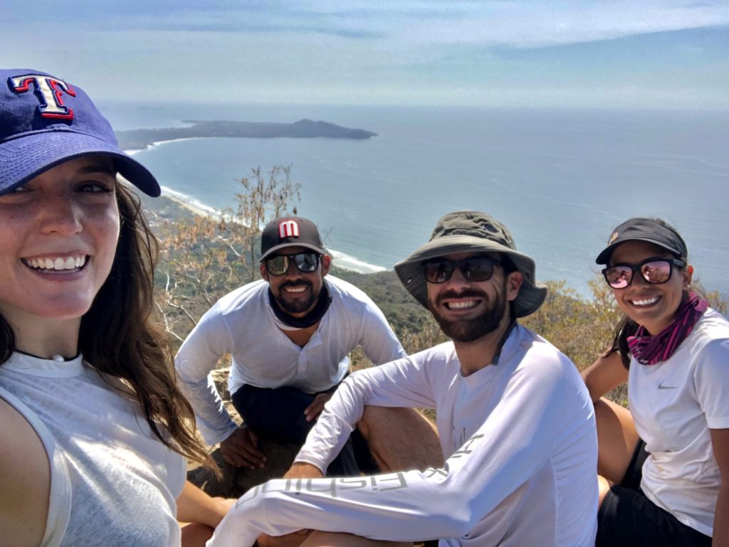
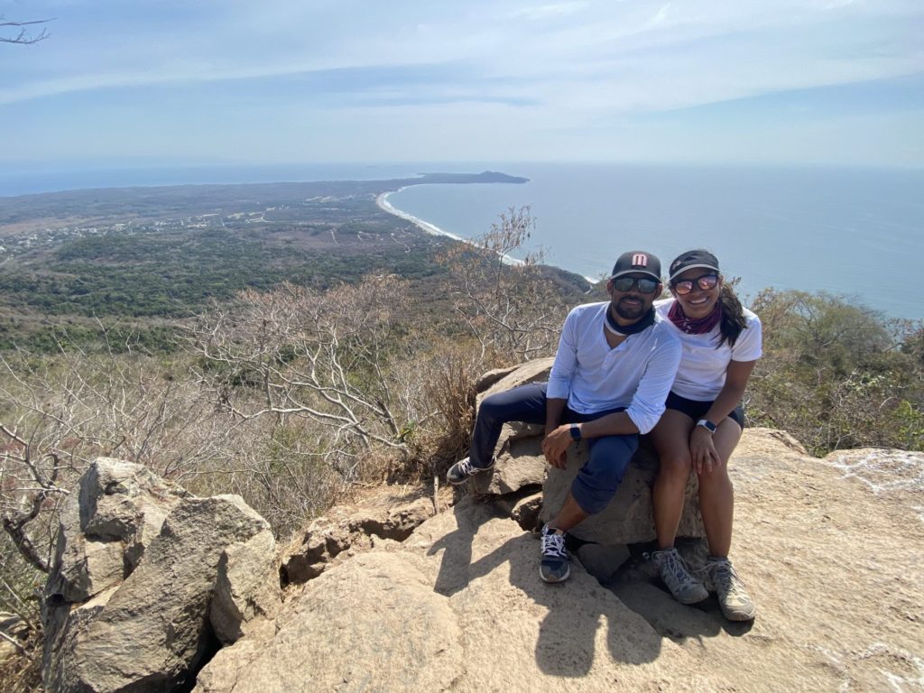
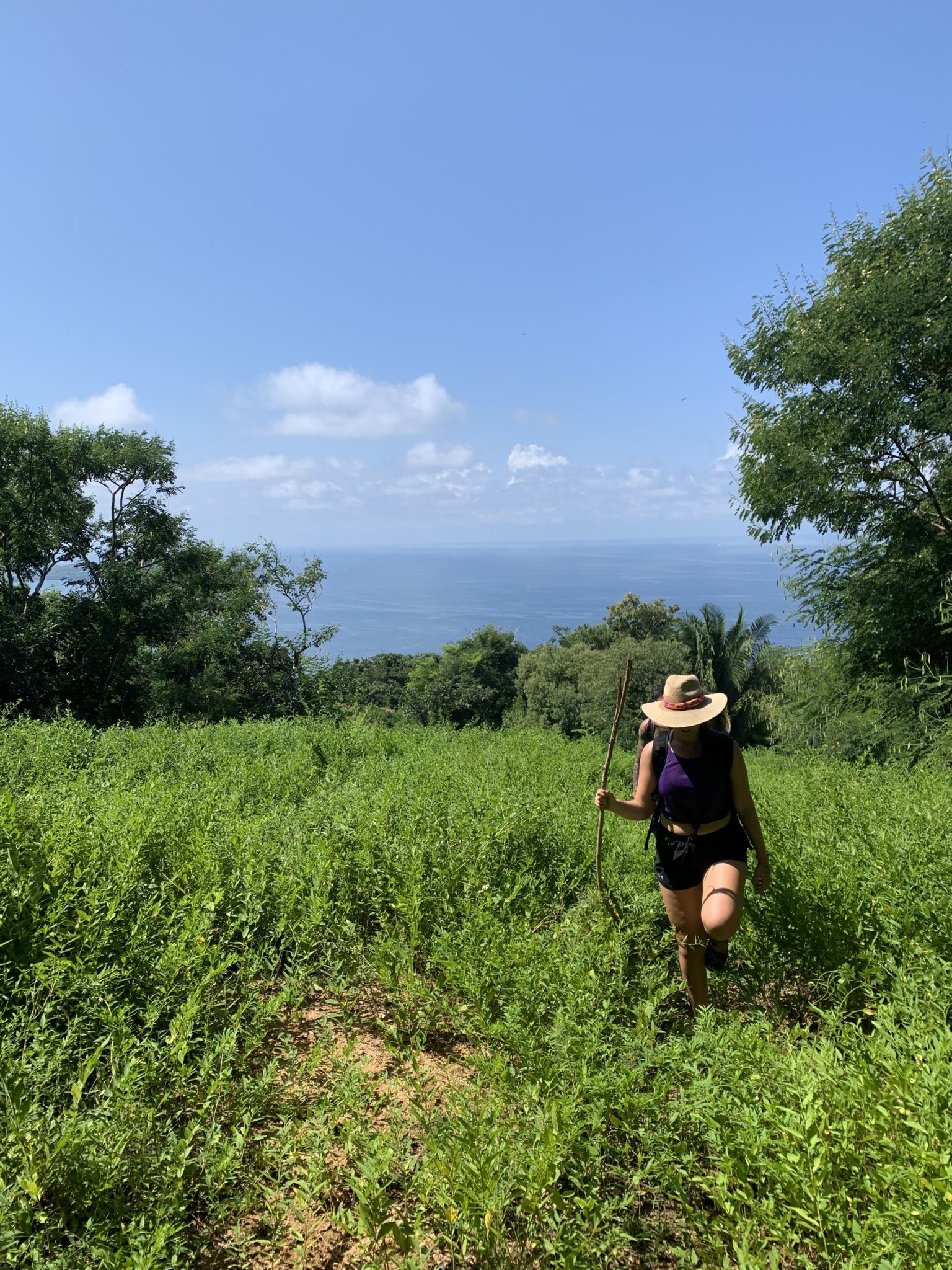
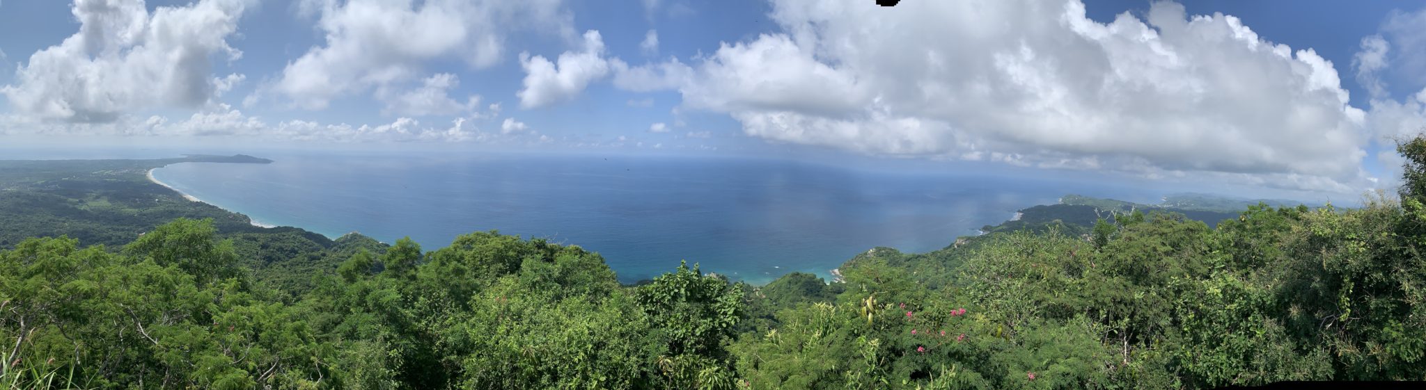
Those who do the Monkey Mountain hike are rewarded with 360° panoramic views of Sayulita, Higuera Blanca, Punta Mita, Litibu, Banderas Bay, and the Riviera Nayarit. It is definitely one of our 4 favorite hikes in the area. The Monkey Mountain hike can be done with a local guide or on your own with a good map and some preparation. It has a few challenging sections, but it really is for any level. Below is all the information regarding how to get to Monkey Mountain (known as Cerro del Mono, in Spanish), where the hiking trail starts, and a map to help you complete the hike.
Should You Hire a Guide?
To do the Monkey Mountain hike, you can take a guided tour or figure it out on your own. If this is your first visit to the area, you have a time constraint, or simply afraid of getting lost, we strongly advise going with a local guide. The hike duration is approximately 4hrs. There are usually two different options for Cerro del Mono hiking tours: one during the day and one at sunset.
Consider booking a tour guide with great knowledge of the area including local flora & fauna, and to assure you’ll never get lost on the trail.
The Monkey Mountain Hike
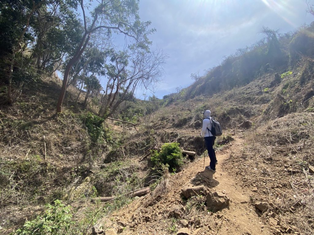
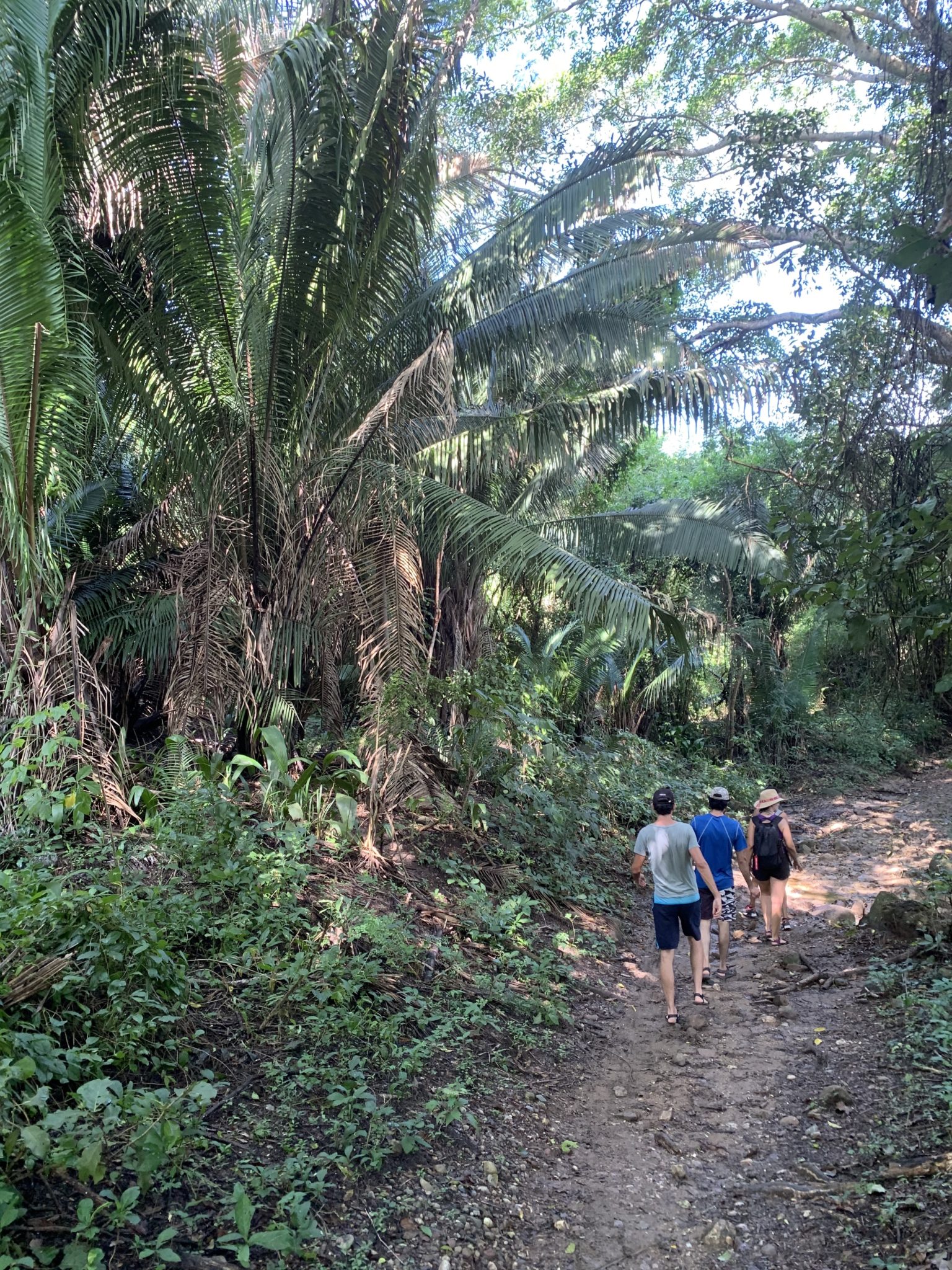
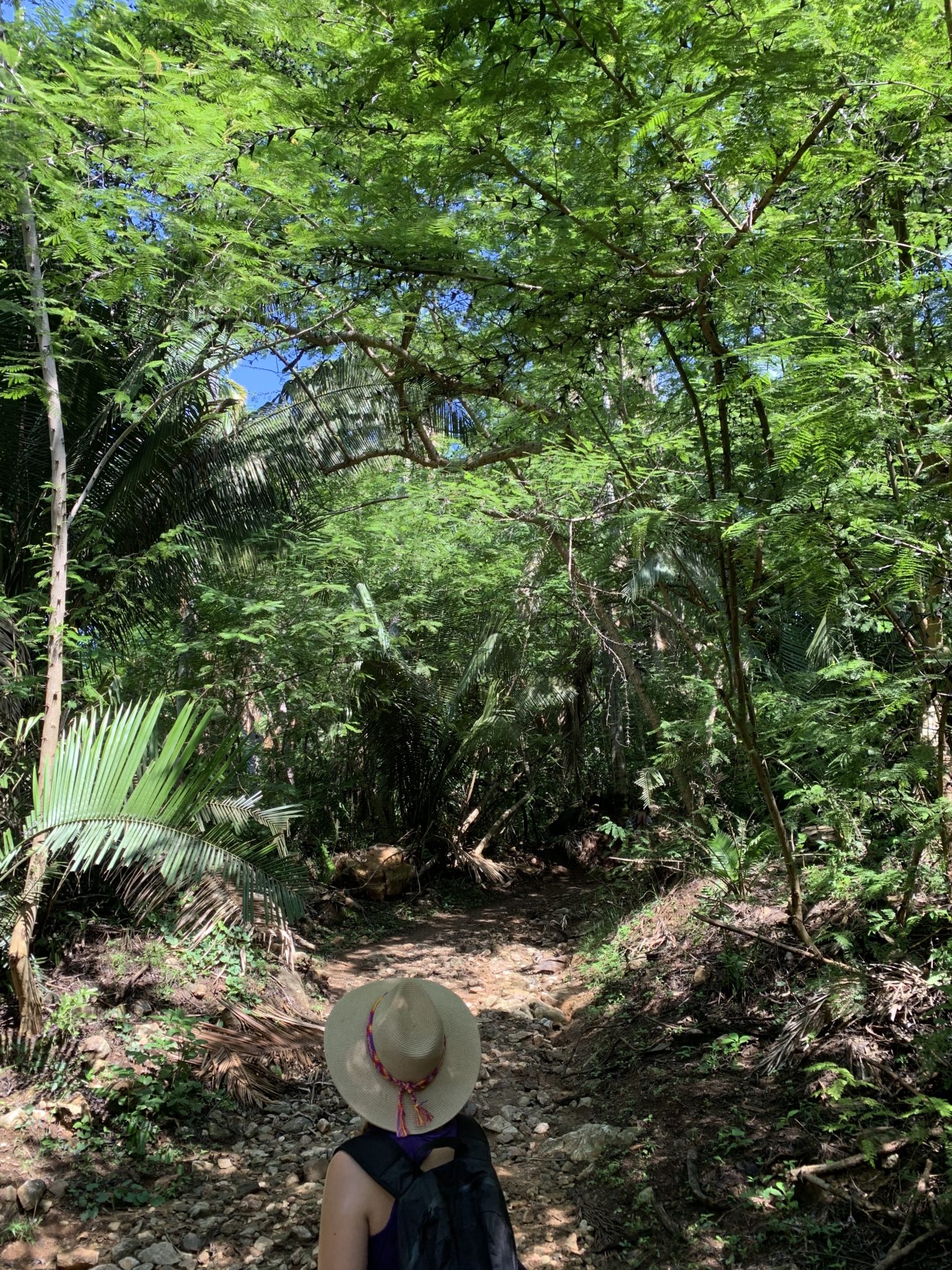
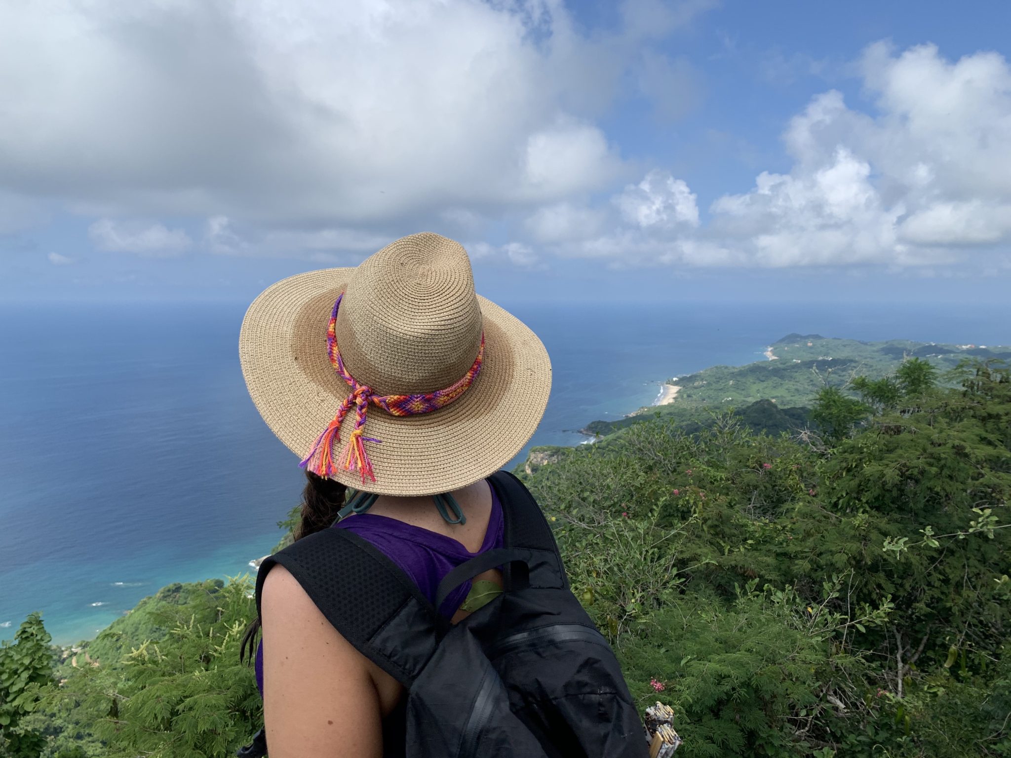
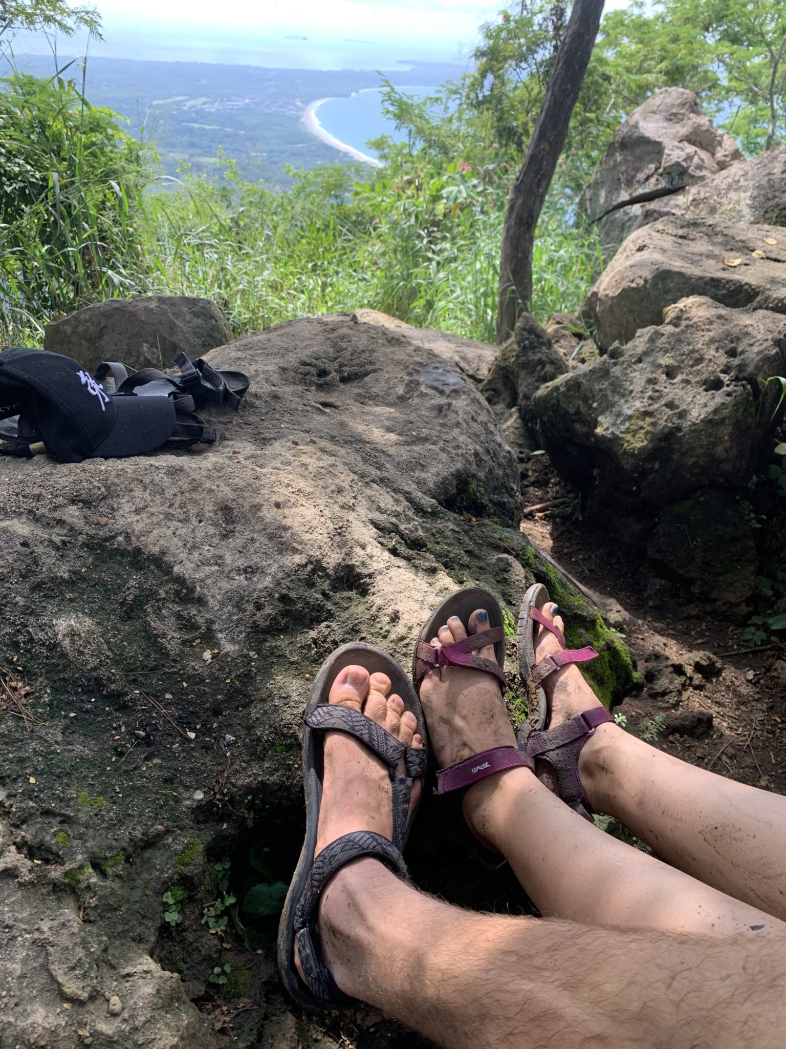
The Monkey Mountain hike will probably take you around four hours, depending on how long you choose to stay at the top, so take plenty of water. Although you’re under the jungle canopy for most of the hike, wear sunscreen and a hat for extra protection. Also, bring insect repellent just in case.
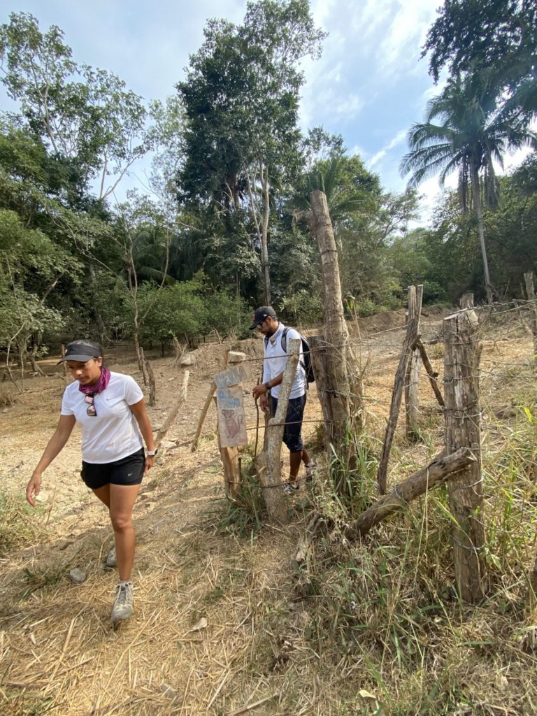
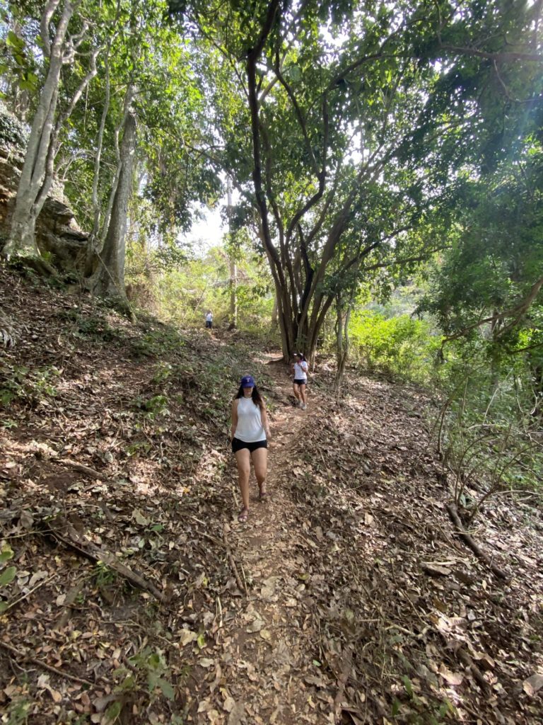
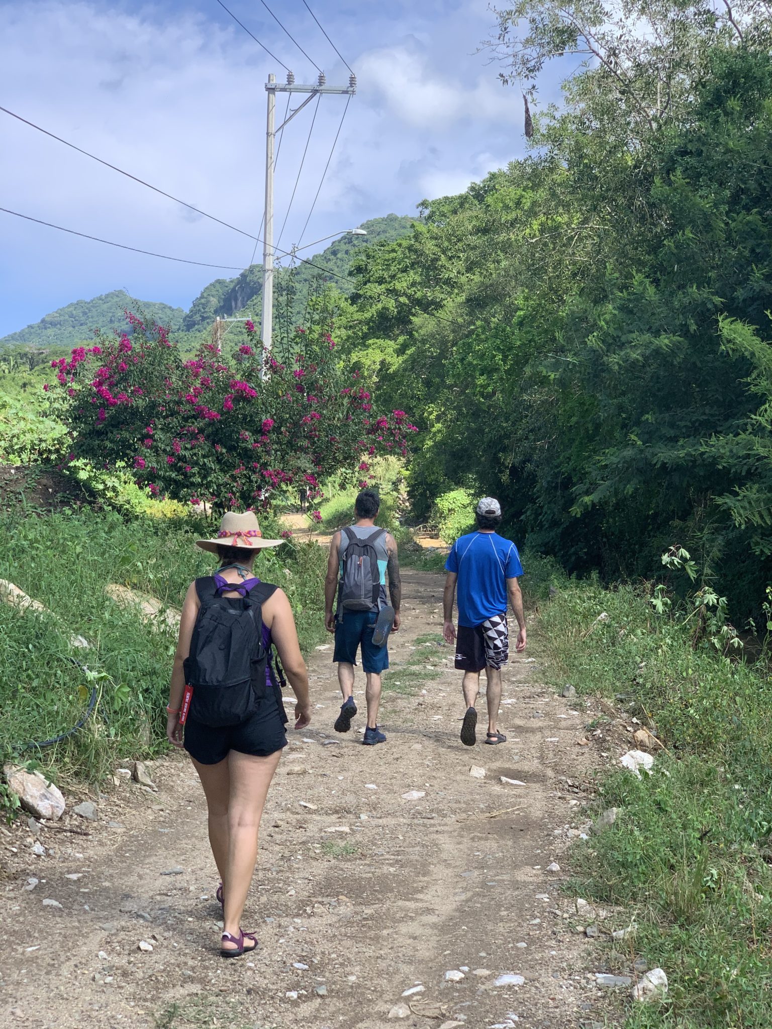
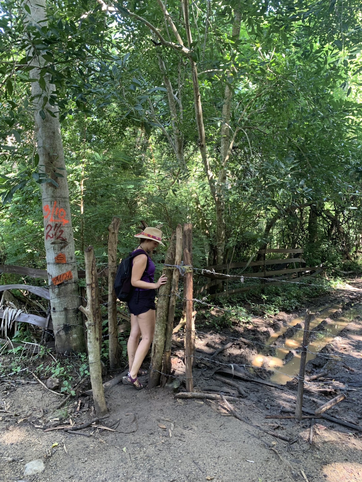
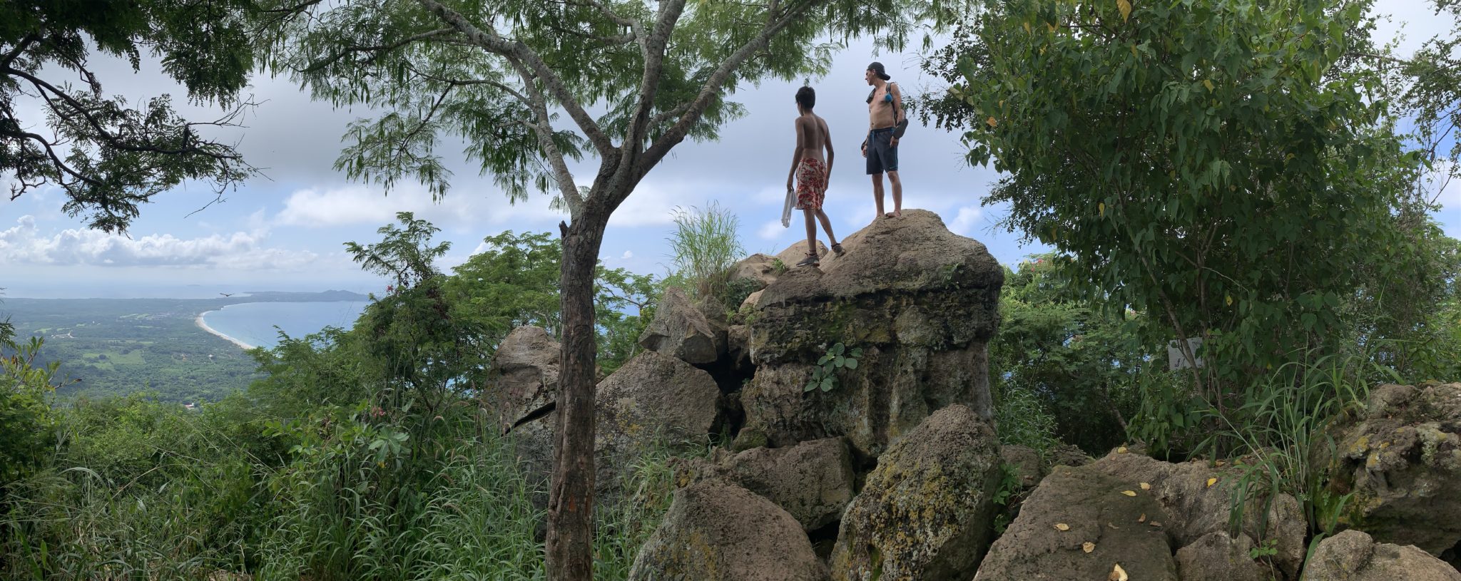
Cerro del Mono is privately owned, so the trail runs through different properties and farms. Along the way, you will likely encounter locals and other tourists, and you won’t see any monkeys, despite the mountain’s name. Once you reach the top of the Cerro del Mono hike, relax & enjoy the view – amazing in all directions.
Hiking Trail Maps
There are two different hiking routes to reach the top:
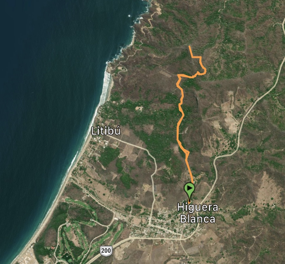
South Hiking Trail
The southern trailhead starts from Higuera Blanca (near Punta Mita) and it is definitely the easiest to reach and better-maintained of the two trails. It is also pretty hard to get lost. To start the hike, go to Plaza Higuera Blanca, walk along Juan Escutia street until you reach a marked gap in the jungle that indicates the rest of the way.
- South Trailhead [See Starting Point]
- Distance: 6.74 km [4.19 mi]
- Elevation gain: 333.14 m [1093 ft]
- Difficulty: Moderate
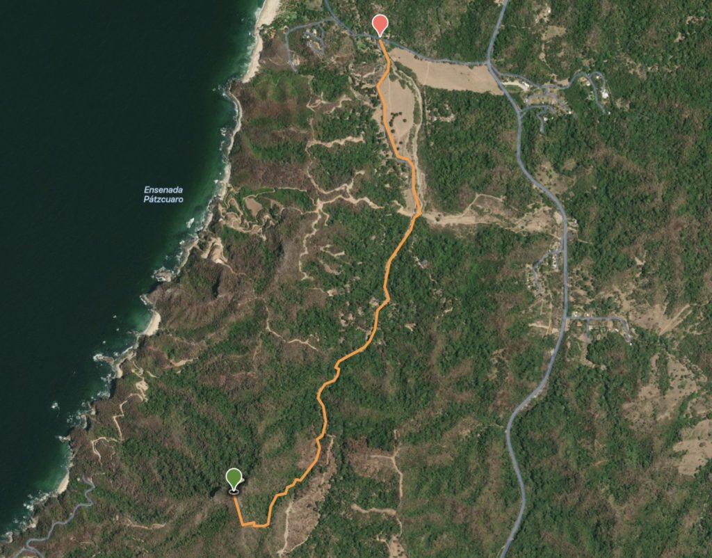
North Hiking Trail
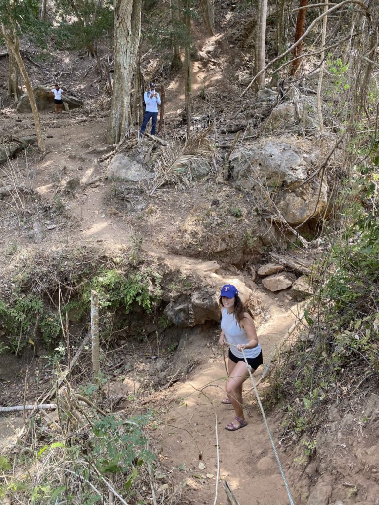
The northern trailhead is closer to Sayulita, but it is a bit more difficult to get to since you have to drive through a few dirt roads and there is no public transportation to this spot. The hiking trail is also generally more difficult, but there are ropes that people have added to the trail to help and it is a lot of fun. There are a couple of forks in the trail, which make it easy to get lost if you do not know the way, and you have to go through a small section of private property. Make sure to download the trail to your phone using Alltrails or Wikiloc, since there is no signal out there!
- North Trailhead [See Starting Point]
- Distance: 6.75 km [4.2 mi]
- Elevation gain: 350 m [1151 ft]
- Difficulty: Moderate to hard
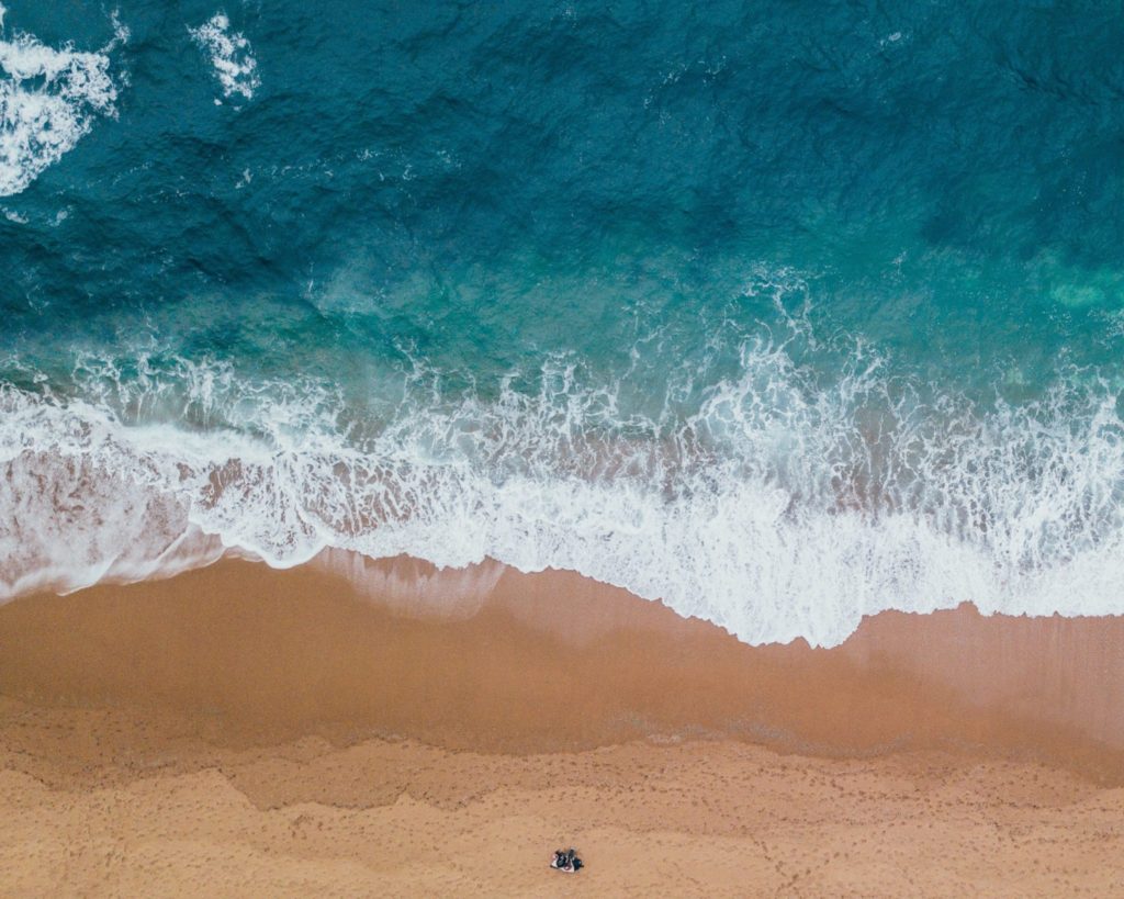
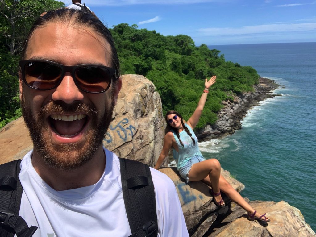
Gallery
Beach Please independently selects & reviews the businesses, restaurants, tours, and expeditions we recommend on our website. If you purchase through affiliate links, we may earn a small commission at no extra cost to you.